Luis Figueroa is an alumnus of the Natural Resources Management Track of the ITC’s Master’s in GIS and EO. During his MSc, Luis was part of the BIOSPACE project, which aims to monitor biodiversity by upscaling field observations and genomic (eDNA) information using satellite remote sensing.
While working at BIOSPACE, Luis collected soil and vegetation samples and operated LiDAR and hyperspectral sensors. Now, his mission at Space4Good is to tackle climate change and biodiversity loss through the use of Remote Sensing, GIS, and AI.
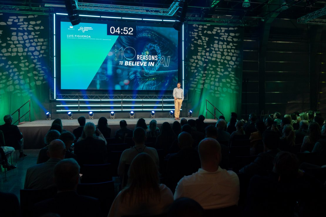
Luis recently participated in the 2024 Luxembourg Sustainability Forum as a speaker to present his work at the geospatial company Space4Good, showing how they use Remote Sensing in combination with AI to better understand biodiversity.

Revealing biodiversity, pixel to pixel
According to Luis, “Remote sensing is the foundation for accurately analyzing biodiversity”. This is done with high-resolution satellite imagery and advanced techniques like laser scanning.
The data that can be gathered using remote sensing can be extremely precise, “in some cases, one pixel of an image can represent 30 square centimeters of the ground” Luis explains. This data is immense in scale, involving gigabytes or terabytes of information.
AI for data optimization
Artificial Intelligence is key for Space4Good in managing and processing the complexity of biodiversity data, relieving its immense weight.
However, data processing is not the only use AI has. There are many practical applications for it, according to Luis; “For example, we can automate machine learning algorithms to detect illegal deforestation in Indonesia, and we can do this repeatedly with just the inputs of information.”

Unlike simple statistical models, machine learning can handle large amounts of data, incorporating tools like deep learning to create models and even predictions. “Biodiversity is very complex,” he says, “to better understand its dynamics, we have to think of using AI in smart, innovative ways.”
From Amsterdam to Indonesia
There are two great examples of Space4Good’s work combining Remote Sensing and AI;
The first is ReTreevAIble, a project conducted for the City of Amsterdam. The municipality wanted a forest inventory for the entire city, which would’ve been quite time-consuming if done manually. However, thanks to AI, with just three very simple datasets and high-spectral resolution imagery, they were able to classify all tree species.
“We overlapped our datasets, delineated each individual tree and extracted the information of their species by their looks using machine learning”, indicates Luis, “at the end, we were able to tell the municipality not only how many trees were and where they were located, but also their species, their condition, and the estimated carbon they were holding.”
Another example of the combination of Remote Sensing and AI was done in Indonesia, in a remote area with a thick rainforest. The conditions for working using traditional methods are hard and require expert knowledge of the terrain. However, with the help of local communities, Space4Good was able to collect data with drones and sensors. With the collected data and machine learning, it was possible to assess the number of trees and identify high-value trees, which are key insights to fighting illegal deforestation.
As AI rapidly evolves, the future of Remote Sensing and AI becomes promising in addressing global issues like climate change “ We need to find better and easier ways for the scientific community to monitor biodiversity loss. There has been great output coming out from within ITC and the Netherlands on biodiversity and ecosystem services. I believe that AI can push those efforts even further”.

Watch here the keynote from Luis Figueroa at the 2024 Luxembourg Sustainability Forum, which was used as the main source for this article.


