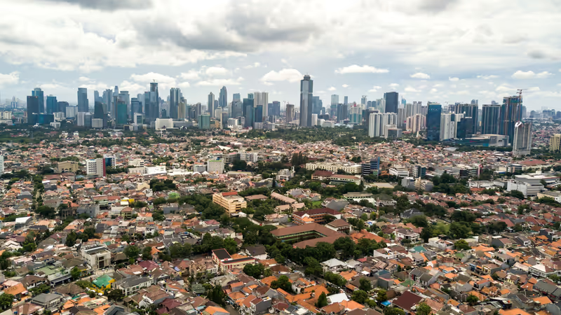
Transforming urban challenges into opportunities
Geo-information technologies provide essential tools for understanding and managing the complex socio-spatial dynamics of urban development. By leveraging GIS, remote sensing, digital planning tools, AI, and Digital Twin models, we support stakeholders in designing targeted interventions that promote long-term urban sustainability, climate adaptation, and improved quality of life. Our commitment to responsible geo-ethical frameworks ensures that these technologies respect local communities, protect privacy, and follow the ‘Do-No-Harm’ Principle.
Urban areas face complex and dynamic challenges related to demographic movements, climate change, energy transitions, transportation, organizational governance, and inequality. The future of cities is marked by uncertainties and risks that are more extreme than those of the recent past. The challenge lies in making urban planning frameworks adaptable to these dynamic conditions, involving multiple stakeholders effectively, and integrating emerging technologies to enhance resilience and adaptability. At ITC, we develop solutions to challenges in small or large urban areas worldwide using our institutional strengthening approach to make a long-lasting impact that helps cities develop sustainably.
Our approach to Urban Challenges
At ITC, we adopt a transdisciplinary approach in research and education to solve complex urban challenges. We focus on developing Urban Futures Solutions guided by key questions: How can urban planning frameworks be more adaptable? How do interactions between various stakeholders contribute to urban strategies? How can cities integrate emerging technologies to enhance resilience and adaptability? By applying geo-information technologies like remote sensing, hazard and vulnerability mapping, participatory planning approaches, modelling, and social science-based methods, we formulate targeted and contextualized solutions.
Making real impact
At ITC, it is our mission to create real-world impact, primarily in the global south. We advance the area of Urban Futures through innovative research and practical solutions and are committed to Sustainable Development Goals such as SDG 11 (sustainable cities and communities) and SDG 9. Below are some example projects that we are proud to work on. You can also check our Major Project Database for more urban futures projects at ITC.
Meet some of our experts
Are you interested in collaborating with ITC on Urban Futures? Whether you’re looking to study, partner on a research project, access local expertise, join a course, or simply brainstorm ideas, we’re here to connect with you. Feel free to reach out—your ideas and questions are always welcome! Please contact Monika Kuffer or any other expert we have at ITC on urban challenges.


