GeoSmart Cities - An Event–Driven Approach for Processing Big Geodata in Smart Cities
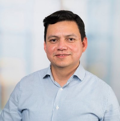
Manuel Garcia Alvarez is a PhD student in the Department of Geo-information Processing. (Co)Promotors are prof.dr. M.J. Kraak and dr. J.M. Morales Guarin from the Faculty ITC.
 Smart cities are urban environments that leverage data from sensors and Internet of Things (IoT) devices to monitor dynamic geographic phenomena. The pervasive use of sensors generates vast amounts of data, and their spatio–temporal properties can be used for understanding urban dynamics and supporting sustainable urban development. However, enabling sensor data transformation into actionable information demands effective data collecting, processing and ana- lysis. This thesis argues that smart cities need to transition from data providers into information and service providers by fostering the use and exploitation of sensor data to promote a city’s productivity, economic value, and quality of life. Therefore, this research focuses on adding utility to sensor data produced in smart cities by developing information services that enable real–time decision–making for various applications.
Initial exploratory research on the utility problem identified two categories of challenges. Conceptual challenges related to the alignment of the conceptualization of information services with the goals and ideals of smart cities. Moreover, technical challenges related to integrating heterogeneous sensors to provide efficient data management and the capabilities to process large volumes of sensor data in real–time.
To address the first challenges, this research proposes a frame- work to help application developers and smart city stakeholders conceptualize software applications that reuse sensor data. The framework describes a method for co–designing event–driven applications. Event–driven applications are information services that rely on detecting geographic events to exploit sensor data and provide situation and context awareness for real–time decision–making. Three use cases demonstrated the framework’s applicability in defining application cases for sensor data, including air pollution monitoring, ambient–aware running, and responsive commute services.
To address the second type of challenge, a software Reference Architecture for Smart City Applications (RASCA) was developed as a generic approach to facilitate the implementation of event–driven applications, which combines microservices and event–driven architectures to provide event processing and geoprocessing capabilities to detect geographic events over data streams. RASCA provides a processing workflow that integrates complex event processing and spatio–temporal analytics, which our research shows can be effectively adopted by the existing sensor and IoT infrastructures. The feasibility, performance, and scalability of the event–driven applications are demonstrated by developing and testing system prototypes (GEDSys) that comply with RASCA using sensor data from the SmartSantander and Algemeen Luchtmeetnet sensor networks. The prototypes also showed that event–driven applications can be deployed in a decentralized computing environment, handle a high throughput of concurrent data streams and support scalable, though potential points of failure must be addressed to enable more reliable data processing.
A crucial component of RASCA is the event processing engine. However, this research showed that existing event processing engines and the event processing languages they provide lack the capabilities to perform spatial matching — essential for detecting events based on spatial relationships—. Therefore, a generic and formal mechanism to specify advanced attributive, spatial and temporal relationships is proposed, and the domain–specific language (GeDL) for declaring simple and composite geographic events in event–driven applications was designed, implemented, and integrated into GEDSys. A proto- type of GeDL was evaluated using sensor data from the Algemeen Luchtmeetnet sensor networks. Results showed that GeDL provides a concise and expressive mechanism to declare geographic events in various application cases. An exhaustive evaluation of GeDL was not possible, but the prototype serves as a proof of concept. Future research should focus on refining the language and adding language constructs to improve its usability and functionality. This includes adding more time types to abstract commonly used time patterns and language constructs to import geographic event definitions declared in different files. Further validation and testing could be performed to assess GeDL’s capabilities and limitations fully.
In summary, this thesis provides a comprehensive framework for exploiting sensor data in smart cities, addressing key challenges in data integration, real–time processing, and detection of geographic events. The proposed architecture (RASCA) and processing language (GeDL) offer a robust foundation for developing scalable and high– performance event–driven applications. By enhancing the utility of sensor data and providing generic and formal mechanisms for declaring and detecting geographic events on data streams, this research work supports the transition towards smarter, more efficient urban environments. The research work conducted in this thesis led to contributions to the fields of smart city technology and geographic information science, such as providing innovative solutions for the effective use of sensor data in real–time decision-making applications and the development of data processing mechanisms to monitor and manage dynamic geographic phenomena in smart urban environments.


