Learn to understand complex urban and regional processes and develop scalable, sustainable strategies that work towards inclusive, competitive, and resilient urban regions and effective land administration through the development of cadastral maps and registers.
The Urban and Land Futures specialisation is designed for students like you who are passionate about tackling social, environmental, economic, and land tenure challenges in urban and regional areas.
By 2050, 68% of the world’s population is projected to live in urban areas, therefore making cities liveable, inclusive, safe and resilient to climate extremes is important. In addition, with more than 70% of the world’s land parcels unregistered, the need for efficient, responsible land administration has never been greater. Land is the foundation of every society, yet millions face uncertainty about land ownership, particularly in and around urban areas. Geographic information and geospatial technologies play a vital role in capturing the dynamic changes occurring in our cities, mapping and managing land security to help design sustainable cities of the future.
Are you interested in learning to understand complex urban processes or help people secure land tenure and resolve land conflicts? Making use of the latest knowledge and skills in geo-information science to contribute to your desired urban and regional future? Then, the Urban and Land Futures specialisation is designed for students like you.
Video Urban and Land Futures explained
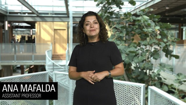
In this video, course coordinator Ana Mafalda explains the Urban and Land Futures specialisation within the Master's in Geo-information Science and Earth Observation.
What is Urban and Land Futures?
Urban and Land Futures specialization consists of two learning pathways:
- Planning for Liveable and Resilient Cities
- Making Cities and Land SMART*
* where SMART is: S- Sustained; M-Measured; A-Adjudicated; R-Registered and T-Tenured.
Learning pathway 1: Planning for Liveable and Resilient Cities
The Planning for Liveable and Resilient Cities learning pathway will equip you with geographic information science skills that will enable you to model, assess, and put forward solutions for creating more resilient, equitable, and inclusive cities and regions.
Through a blend of theory and hands-on practice, you'll master the latest tools and techniques for spatial planning and management while focusing on real-world impact. We emphasize people-centric, socio-technical approaches so that you can leverage advanced tools and methods like digital twins, ecosystem services, nature-based solutions, and digital participatory planning to design thriving urban environments.
Join us to become a leader in shaping the smarter and more inclusive cities of tomorrow.
Learning pathway 2: Making cities and land SMART
The Making Cities and Land SMART* learning pathway equips you with the expertise to develop responsible land administration systems that document and map people-to-land relationships. Without such systems, authorities, and communities don’t know who owns what, residents don’t have security of tenure and can lose their land or get evicted at any time.
Master cutting-edge technologies, including advanced geo-information and land surveying methods. Learn to model and utilize both direct data sources (terrestrial and mobile data) and remotely sensed data (satellite, aerial, and UAV-drone imagery). Expand beyond 2D to develop 3D cadastral systems, laying the groundwork for creating Digital Twins.
If you’re passionate about solving global land issues or looking to enhance your career in land administration, this specialisation will give you the skills to make a real-world impact. Join us and be part of the solution to one of the most pressing global challenges - land tenure security!
*where SMART is: S- Sustained; M-Measured; A-Adjudicated; R-Registered and T-Tenured
What will you learn?
As a graduate of the Master's in Geo-Information Science and Earth Observation with a specialisation in urban and land futures, you will gain the following knowledge, skills and values.
Knowledge
After completing this Master’s specialisation, you will:
- understand and contextualize key urban planning and land administration theories and practices as a basis for understanding urban problems and processes, or to design and apply responsible land administration solutions;
- have a solid knowledge of geo-information science-based approaches to address urban planning and land administration challenges:
- critically use geo-information methods in the fields of urban planning and land administration.
Skills
After successfully finishing this Master’s specialisation, you can:
- conduct a spatial analysis to understand and address urban processes and problems, or design and apply responsible land administration solutions using the latest technologies and methods;
- lead the development of geo-information-based design for urban planning or lead the design of scalable land information systems and models;
- apply effective communication with stakeholders for designing urban planning and responsible land administration solutions.
Values
After completing this Master’s specialisation, you:
- will ethically use geospatial data and science;
- will understand the transdisciplinary collaboration required to address the sustainable development goals related to urban and land management.
- will maintain a critical attitude towards technological innovations in urban and land management.


