In this edition of Made in NRS, we interview Stefanie Steinbach, PhD graduate specialized in Earth observation-based wetland research. As an external PhD candidate, Stefanie had to deal with some complexities of academic research while working with many organizations in different countries. The international journey of her PhD, including fieldwork in Rwanda and Kenya, makes this Made in NRS a unique story.
Can you tell us about your academic background and how you got into remote sensing?
I studied geography at the University of Bonn in Germany. Initially, I never thought I would focus on something as technical as GIS and remote sensing. But as I progressed, I felt the need to pursue this hard skill to quantify relationships.
So, I jumped into the cold water and took on a Bachelor’s thesis that required GIS, working with data from a project on inland valley wetlands in Benin. That’s when I became intrigued by the field.
What led you to ITC for your PhD?
Between my Bachelor’s Degree and my Master’s, I interned in Benin, where I met my co-promoter, Dr. Sander Zwart. He showed me how GIS and remote sensing could be applied to real-world problems, like determining the best places to grow rice, which inspired me to continue in this field. After this, I did my Master’s thesis in a wetlands project focusing on reconciling food security and environmental protection in East African wetland landscapes.
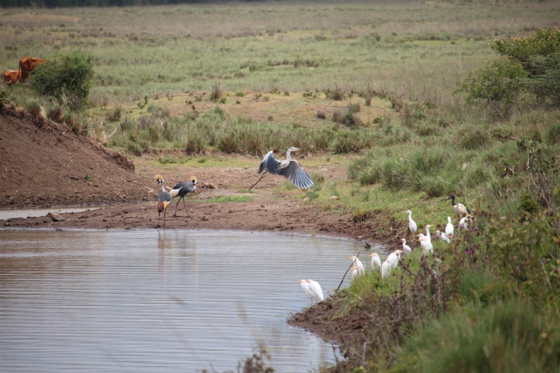
Small reservoir in central Kenya – human-made wetlands can be rich in fauna, as with different bird species, including crested cranes, whose habitats are threatened by wetland loss.
Later, Sander moved to the ITC Faculty, and he introduced me to Prof. Andy Nelson. That connection ultimately led me to start my PhD candidature at ITC.
Did you experience different things compared to a regular PhD, being an external PhD candidate?
There are many differences! Being an external PhD comes with its own set of challenges.
Since I was in Benin when I started, and even after moving back to Germany, I couldn’t physically meet my peers often. That meant missing out on informal learning moments, like coffee break discussions. But ITC was very structured, which helped a lot. Andy encouraged meetings with other PhD students, and the team was always responsive whenever I had questions.
A PhD journey is always a challenge, but balancing the duties of a job with the PhD as you do as an external PhD student can be tricky. However, a double-affiliation can come with positive side effects. Experiencing the diversity of how different institutions, working groups, and researchers think and function really advanced my understanding of academia.
What was the focus of your PhD research?
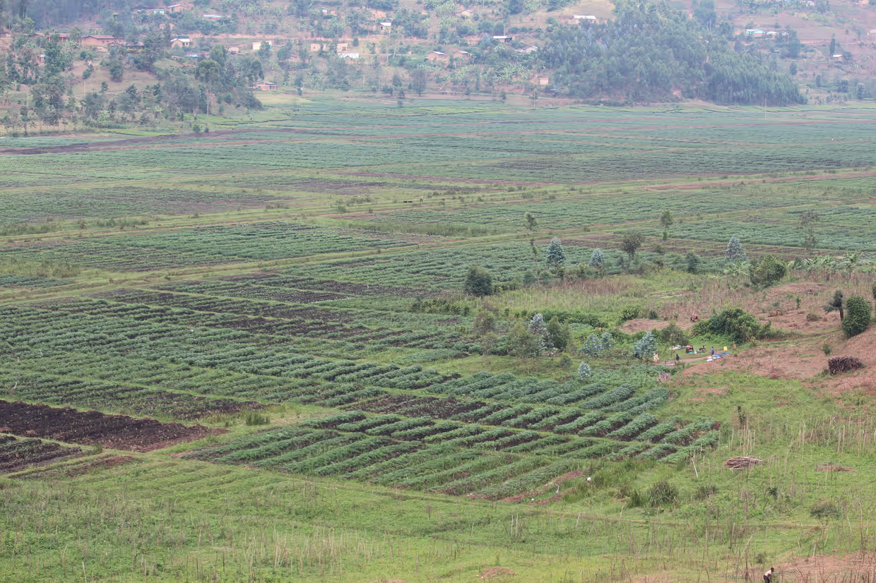
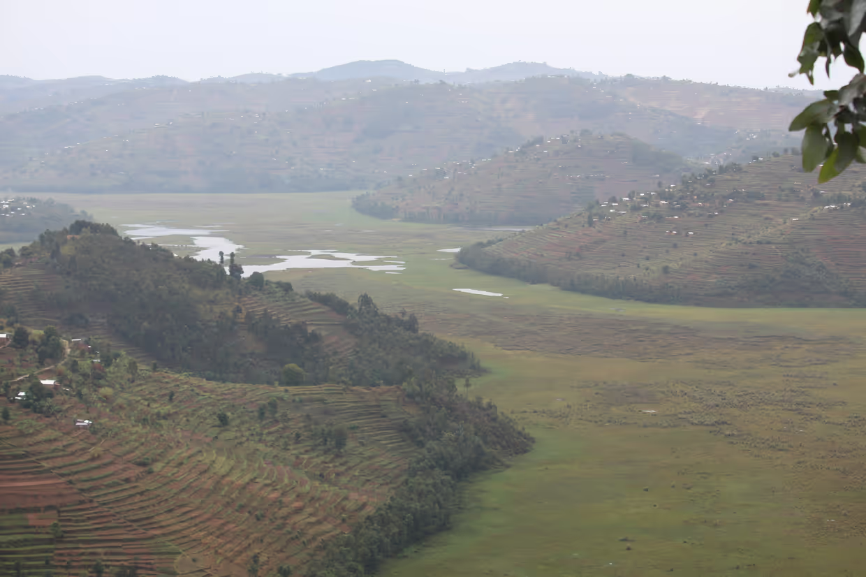
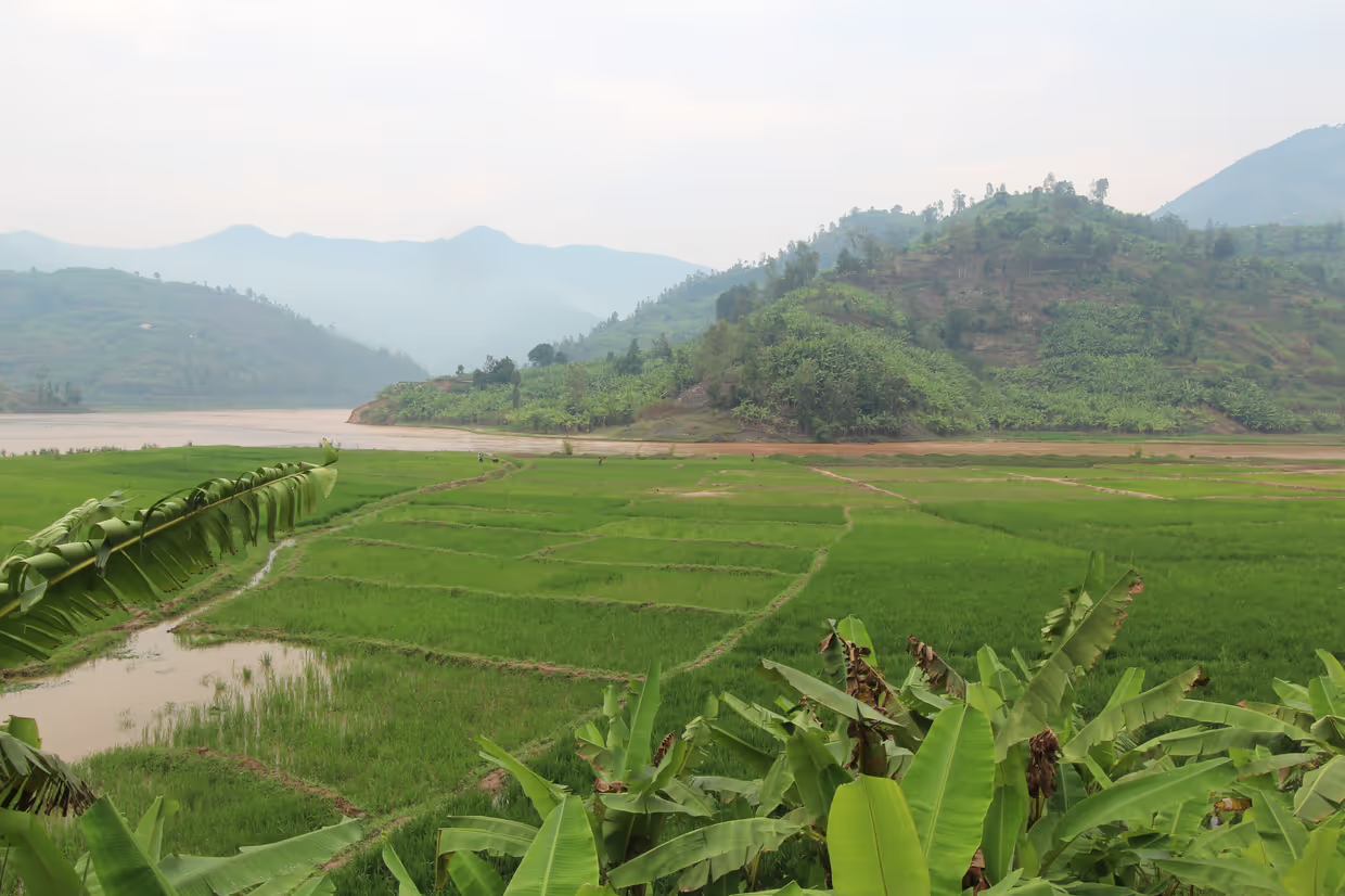
My goal was to improve spatial information for wetland assessment and sustainable management that balances environmental conservation with land use in the context of food security. I started analyzing data from West Africa, but then switched to East Africa. My research involved four key studies, half of them conducted in Rwanda and the other half in Kenya.
First, I developed a remote sensing-based framework 1 to describe the complex ecosystem of wetlands, including not only their location and their extent but also their land cover with wetland-specific classification, their surface water dynamics, and their use intensity. This is important to observe where they may be overused or underused, and to capture changes over time – desired or undesired.
In the second article 2, I elaborated more on the wetland use intensity and compared that with Rwandan national data sets but also with wetland condition at the local level. The statistical analyses showed that it can serve as an indicator of wetland management and condition. Thus, it can give an overview that is cost effective and spatially and temporally comprehensive.

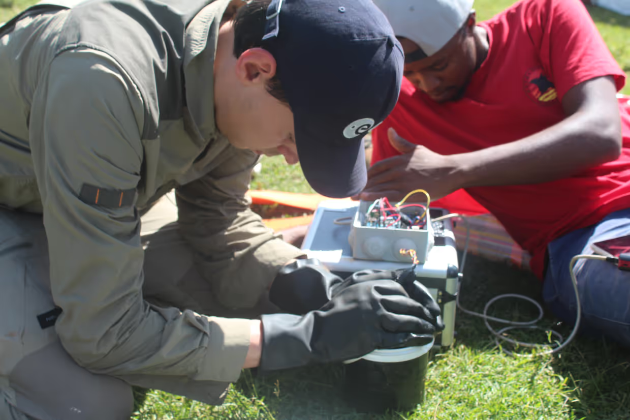
The third study 3 was focused on wetlands in central Kenya, which provide water for agriculture and households. However, their water quality is often not tested, because they are decentral and sampling is expensive. Therefore, I integrated low-cost sensor technology and Sentinel-2 imagery to assess water quality by measuring turbidity. Turbidity indicates water clarity, which is a key water quality parameter. Assessing it at a low price point on the ground and with satellite imagery are two alternatives to conventional water sampling, which helps identify problematic water sources.
I then used this Sentinel-2-based turbidity model to determine feedback mechanisms between water quality and potentially influencing factors, such as land cover, management, topography, and weather. This was the topic of my fourth article 4.
Did you encounter any unexpected findings?
Yes! In my final study, I expected to see a clear seasonal pattern in turbidity. The assumption was that rainfall would make the water muddier. But in reality, the relationship was more complex; Small wetlands don’t behave like large water bodies and human activities play a much bigger role in influencing water quality than I initially thought.
Can you point out a highlight of your PhD journey?
Fieldwork was the highlight of my PhD. I traveled to Rwanda and Kenya, working closely with local institutions and communities. One of the most memorable parts was using a little inflatable kayak to collect water samples in small wetland reservoirs.
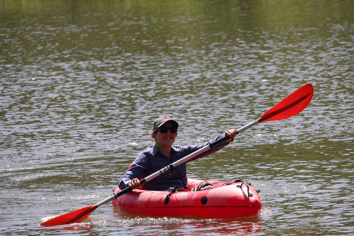
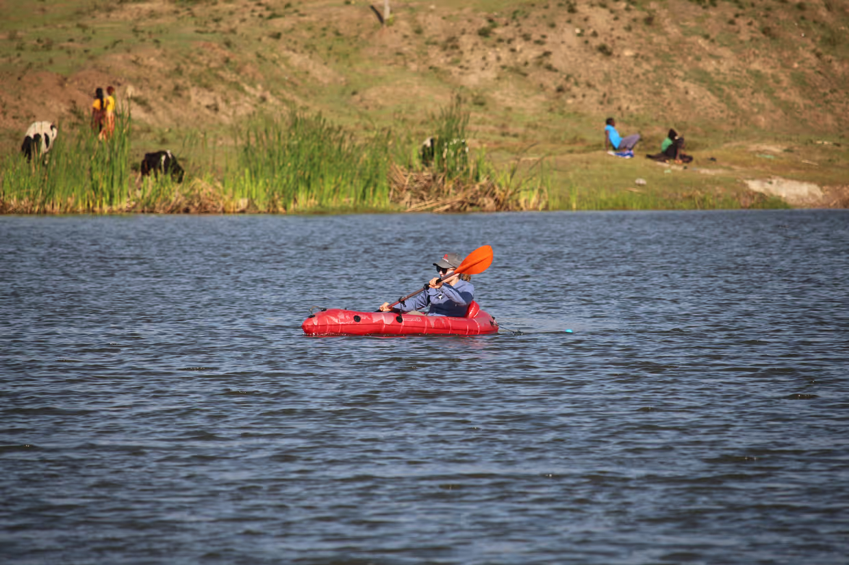
It was incredible to be out there, observing the ecosystems firsthand. And on one occasion, I even saw wild grey-crowned cranes… it was truly special.
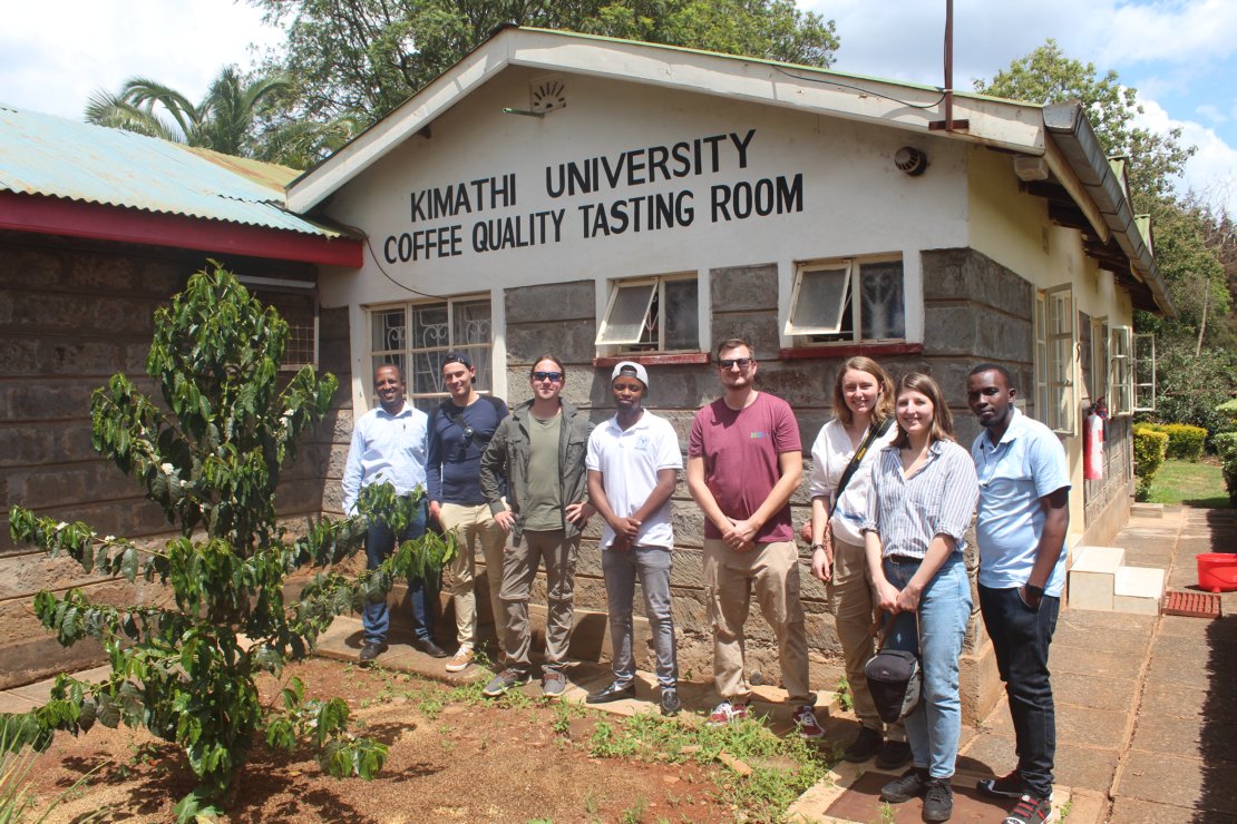
I would also like to mention the work we did with local institutions and, through them, with user communities. I think that's something to keep in mind as a researcher when you want to research a certain geographic location that you are not native from. Consider establishing links, working closely with locals, and collecting their feedback. This worked very well in my case, especially thanks to Dr. Kuria Thiong’o and his team at the Dedan Kimathi University of Technology in Kenya and the Water Resources User Association they work with.
Teamwork on small reservoir water quality with partners from Dedan Kimathi University of Technology, Nyeri, Kenya, and Ruhr University Bochum team.
What were some of the biggest challenges during your PhD?
One of the hardest moments was when data didn’t behave as expected. Having to go back and rethink my entire approach, knowing it would set me back months, was tough.
Getting rejections from journals is also hard, and sometimes, it is difficult to understand the reaction from reviewers. In these moments, the advice I received from my supervisors was very important.
Another challenge was working on project-based contracts, especially during the pandemic, when job opportunities were uncertain. Fortunately, I found a great position at Ruhr University Bochum (RUB), which gave me the stability to continue my research. My projects often did not match my PhD research directly. However, one project allowed me to do the fieldwork in Kenya that the second half of my thesis hinged on. And having colleagues to brainstorm with and Jun.-Prof. Andreas Rienow and Jun.-Prof. Valerie Graw as superiors who helped secure my funding until and beyond my defense allowed me to gain traction.
How has your PhD helped you grow professionally?
I made a conscious effort to develop my programming skills. Being able to share my code so others can reproduce or adapt my analyses is really valuable.
On the academic side, completing a PhD means that you are able to conduct research independently. And I grew into that. At first, I struggled to determine the scope of a study clearly and I came up with wordy manuscripts. But I progressively got better and also quicker at identifying a knowledge gap and setting the focus.
I also learned about the publishing process, from selecting the right journal to handling rejections. As Andy always emphasized “it’s not just about the impact factor, but about finding the right home for your research”. I take such advice, which sometimes turns away from the increasing quantification of scientific work and towards the content, with me into my future work.
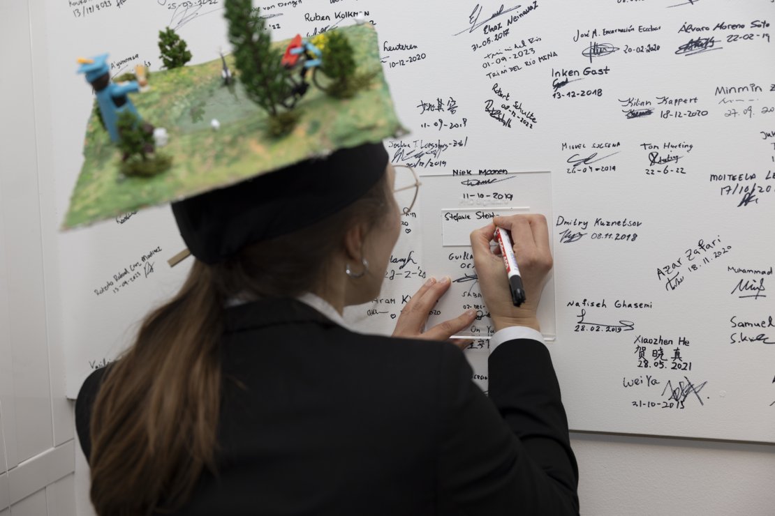
Where UTwente and German traditions meet - UTwente students join the ranks of graduates with their signature, while a hat made by RUB colleagues with elements from everyday life and research is a German specialty.
Any advice for future PhD candidates?
I spent too much time in the first years worrying about whether I’d finish, but that anxiety took away from my ability to actually make progress. Doubts are normal, but don’t let them consume you. Focus on the work, and progress will follow!
references
1. Steinbach, S., Cornish, N., Franke, J., Hentze, K., Strauch, A., Thonfeld, F., Zwart, S. J., & Nelson, A. (2021). A New Conceptual Framework for Integrating Earth Observation in Large-scale Wetland Management in East Africa. Wetlands, 41(7), 93. https://doi.org/10.1007/s13157-021-01468-9
2. Steinbach, S., Hentschel, E., Hentze, K., Rienow, A., Umulisa, V., Zwart, S. J., & Nelson, A. (2023). Automatization and evaluation of a remote sensing-based indicator for wetland health assessment in East Africa on national and local scales. Ecological Informatics, 75, 102032. https://doi.org/10.1016/j.ecoinf.2023.102032
3. Steinbach, S., Rienow, A., Chege, M. W., Dedring, N., Kipkemboi, W., Thiong’o, B. K., Zwart, S. J., & Nelson, A. (2024). Low-Cost Sensors and Multitemporal Remote Sensing for Operational Turbidity Monitoring in an East African Wetland Environment. IEEE Journal of Selected Topics in Applied Earth Observations and Remote Sensing, 17, 8490–8508. https://doi.org/10.1109/JSTARS.2024.3381756
4. Steinbach, S., Bartels, A., Rienow, A., Thiong’o Kuria, B., Zwart, S. J., & Nelson, A. (2025). Predicting turbidity dynamics in small reservoirs in central Kenya using remote sensing and machine learning. International Journal of Applied Earth Observation and Geoinformation, 136, 104390. https://doi.org/10.1016/j.jag.2025.104390


