The city of Athens, home of knowledge during Ancient Greece, has been the host of the 2024 IEEE International Geoscience and Remote Sensing Symposium (IGARSS).
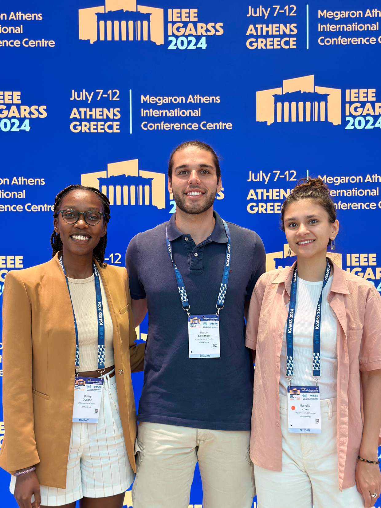
This year, three very special speakers from the ITC Faculty attended the Symposium to present their work for the FoodGravity Project; Belise Dusabe (MSc in Geo Information Science and Earth Observation), Manuka Khan (MSc in Spatial Engineering) and Marco Cattaneo (MSc in Spatial Engineering).
In this edition of Made in NRS, we interviewed these three students to discover their contribution to Food Gravity and their experience at the 2024 IEEE IGARSS Symposium.
How did you learn about ITC? What made you decide to come study here?
Manuka:
I did my bachelor’s in Future Planet Studies at the University of Amsterdam. During my final year, there was a master’s fair where we could explore different master’s programs. I found the Spatial Engineering program and thought it was interesting. Until then, I had never heard of ITC, and it wasn’t until the introduction week at ITC that I realized it’s renowned worldwide, except in the Netherlands, where I’m from.
Belise:
In my case, I got to know ITC due to a friend, who was here specializing in Water Management and Environmental Resources. She told me “There is a programme that may be interesting for you at ITC, it is called MGEO”. I checked and found the GeoInformatics track, which aligned perfectly with my background, so I went for it.
Marco:
I did my bachelor’s in Environmental Engineering in Milan. During my last year, I considered doing a master’s abroad, so I researched universities across Europe. I was interested in Environmental Engineering and GIS, so the MSc in Spatial Engineering was ideal. Like Manuka, I had no idea what ITC was before coming here, and I have to say it is quite unique compared to other faculties.
A fair, a friend and the Internet, three different ways to get to ITC… Interesting! What was your favourite course during the MSc? Did it influence your thesis topic?
Manuka:
My favourite course was Species Distribution Modelling. I enjoyed it because I got to work with biodiversity and species modelling, which really interests me. My thesis focuses on assessing biodiversity in coffee fields in Vietnam, and this course influenced my interest in species distribution and biodiversity conservation.
Belise:
For me, it was Scientific Geo-Computing, the first course in the Geo-Informatics specialization. It introduced us to computing related to Geo-Information and geosciences, including Python programming. Although it was not all new to me because I had a background in Computer Science, this course prepared me to become independent in my research, which was crucial for my thesis work.
Marco:
In my case, I enjoyed the elective course on Water and Carbon Dynamics in Ecosystems. In this course, we learned about carbon fluxes and offsetting projects, which was relevant to my thesis on mapping ecosystem services in Kenya, where I had the chance to travel for fieldwork. Even though I’m not using the exact methods learned, the course gave me a solid understanding of carbon sequestration.
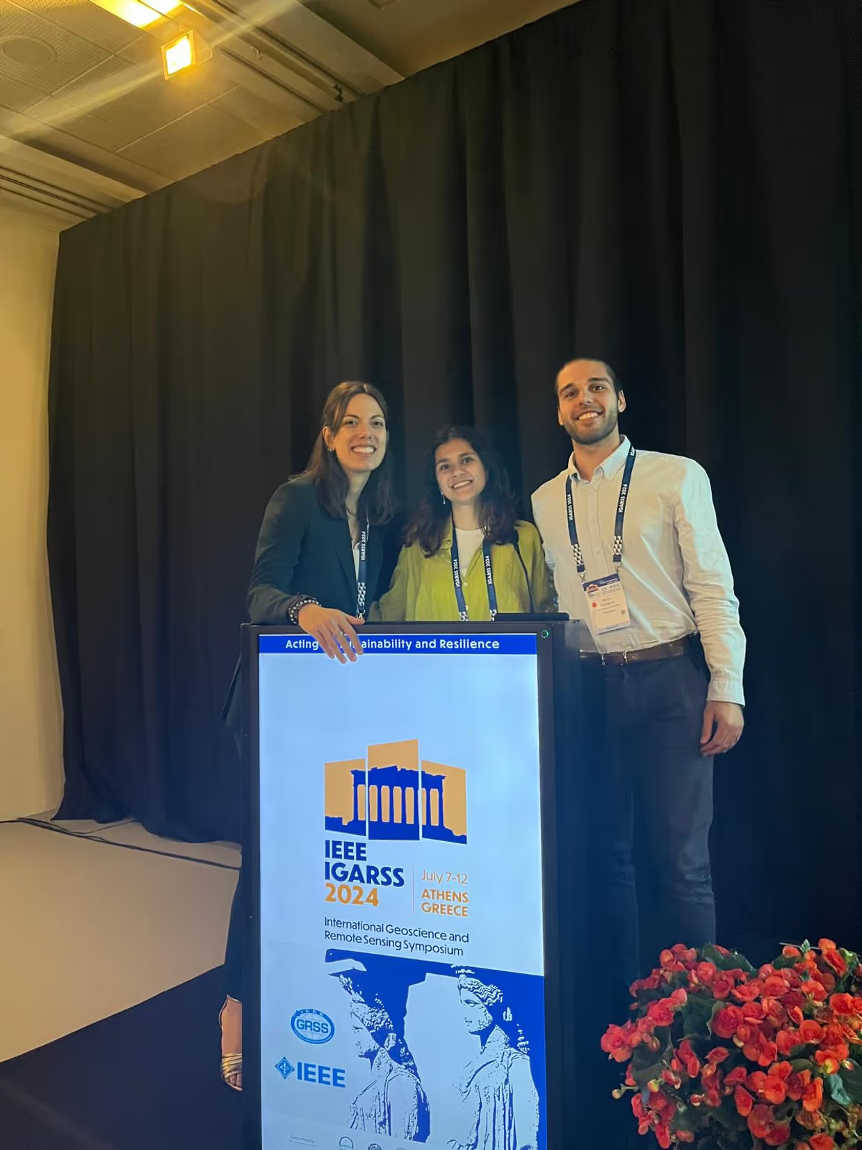
You have just arrived from a trip to Athens, where you presented your work at the 2024 IEEE IGARSS symposium. What did you present at this prestigious symposium?
Marco:
We presented our work for Food Gravity. For Manuka and I, this was a separate project from our thesis. For this project, we developed machine learning models to estimate food flows, particularly cereals, across U.S. counties using a variety of data sources.
We created a database and trained a machine learning model with different variables from Earth Observation, such as socio-economic factors and land-use covers.My biggest learning was to enter the world of machine learning and get deep into coding.
Manuka:
In short, our tasks included creating this database and conducting experiments with various algorithms. We learned a lot about machine learning, neural networks and deep learning through this project.
I learned a lot by working on Food Gravity; using all these different new Python libraries, finding and merging datasets, experimenting with algorithms, interpreting the results…
Belise:
My project was similar but focused on Rwanda instead of the US. We aimed to exploit Earth Observation (EO)-derived geospatial data to extract meaningful indicators that can support the monitoring of food production and consumption. In greater detail, we used EO-derived geospatial data to model the spatial configuration and features of surrounding areas of the markets. Volunteered geographic OpenStreetMap (OSM) data were used to map the physical accessibility to the markets and nearby facilities. Then, extracted variables were correlated with production sites to automatically classify different market properties, specifically market infrastructure and characterization. Our preliminary results obtained in Rwanda reveal a correlation between the analyzed geospatial features and market characteristics, offering valuable insights for improving food security strategies.
Personally, how have you experienced this trip to Athens and the presentation at 2024 IEEE IGARSS?
Marco:
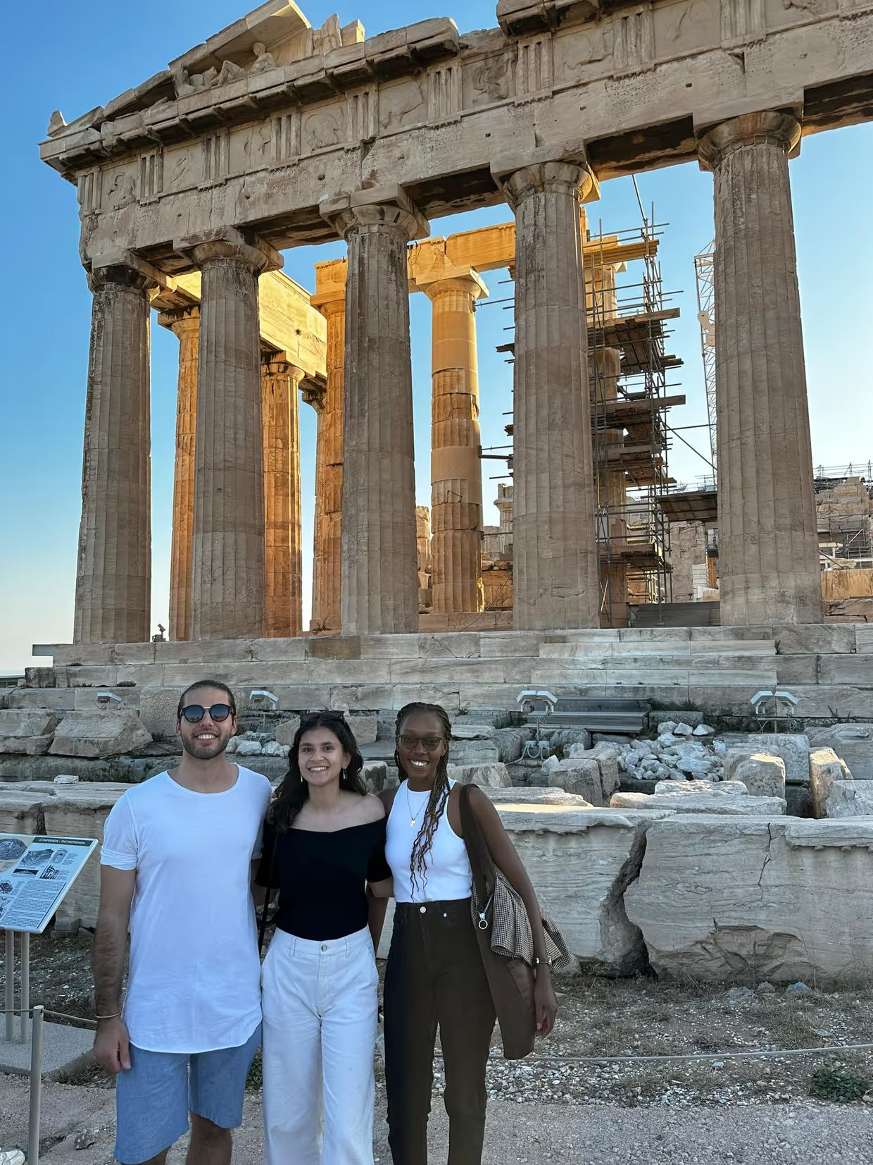
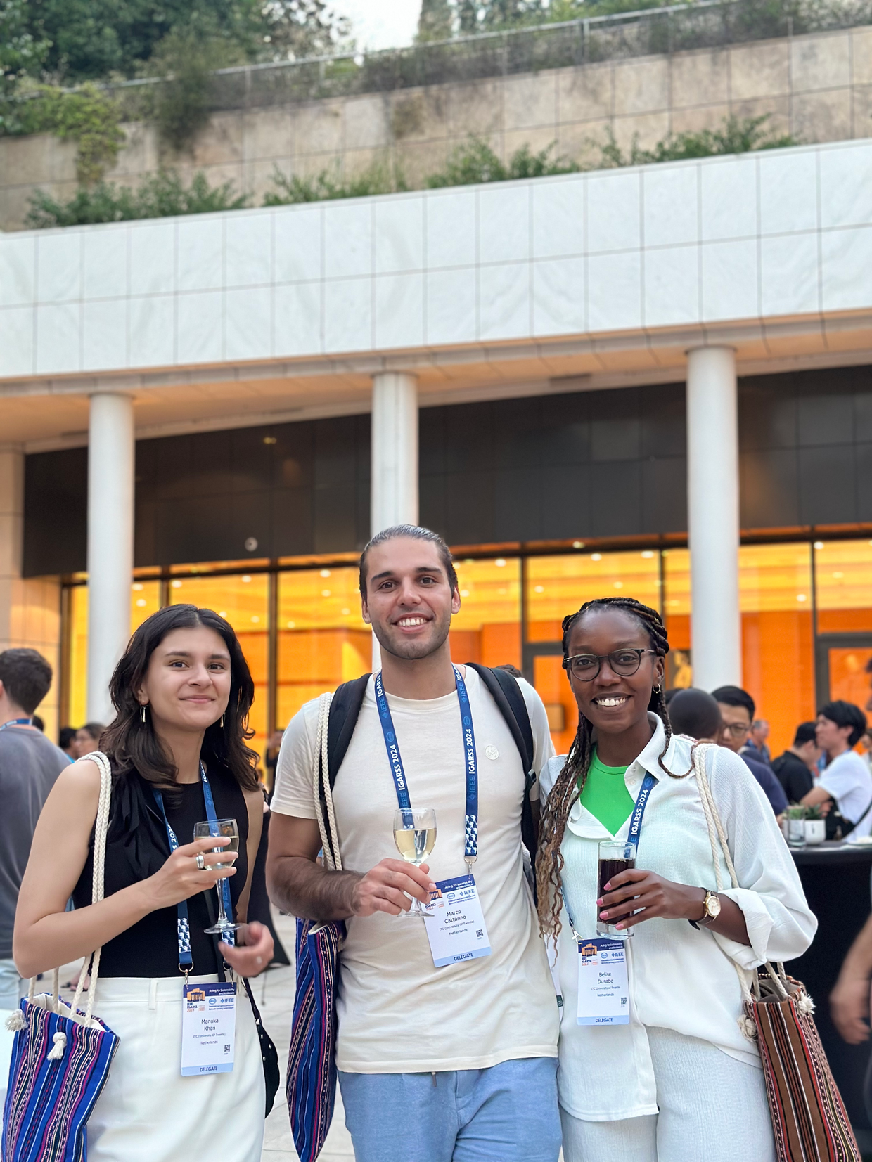
Talking about temperature, Athens was incredibly hot, nearly 40 degrees constantly. But the city is beautiful, and the conference was a fantastic opportunity. Walking into the venue among 3,000 scientists and researchers was really inspiring, as we felt like part of something big. The sessions were diverse and we could pick what was the most interesting for us… and we had time to explore the city as well!
Manuka:
The conference was a great chance to have a glimpse of the academic world. We enjoyed the sessions, and it was amazing to be among so many people in the field. The scale of the conference really impressed us.
Belise:
Indeed, it was a great opportunity to attend such a prestigious conference. It showed me that there is still a lot to learn in the field of GIS. It was a great opportunity for exposure and learning.
You’ve finished your studies and attended this conference. What are the next steps in your career?
Belise:
I plan to enter work in the industry, possibly in GIS data analysis. The conference sparked my interest in research, but I want to gain industry experience first.
Manuka:
I’m starting an internship in September with the World Resources Insitute for monitoring deforestation in Europe with the Global Forest Watch tool. The conference and my thesis experience have made me consider continuing in research, but I’m keeping my options open for now.
Marco:
I also have an internship pending. Ideally, I’d like to work with an international organization focused on environmental conservation, like WWF or the UN. After working closely with the UN during my fieldwork in Kenya I know I would like to stay in the Development Sector for Environmental Conservation.
Is there anything else you would like to add to the interview?
Belise:
I would really recommend any ITC student to attend GIS-related conferences if they get the chance. It’s eye-opening, it gives you a different angle on the field and provides valuable exposure and learning opportunities. If you have a chance, please go!
Marco:
My advice is to be curious and explore opportunities outside your main academic path. Our project started as an extracurricular activity and led to a paper and then a conference presentation, which was an incredible experience.
Manuka:
I think I can't say it better than Belise and Marco, I completely agree. Just don't be afraid to explore the unknown and be curious. If you get any opportunities to grow, always go for it!


