The Faculty of Geo-Information Science and Earth Observation offers Tailor-Made Training (TMT) programmes all around the world, in places like Bangladesh, Jordan, and Africa. For these TMT’s, the ITC Faculty offers training and expertise to local partners. Last year, ITC provided a TMT to staff members of the National Land Commission (NLC) in Bhutan. The aim was to support them in the development of a web app for touristic purposes.
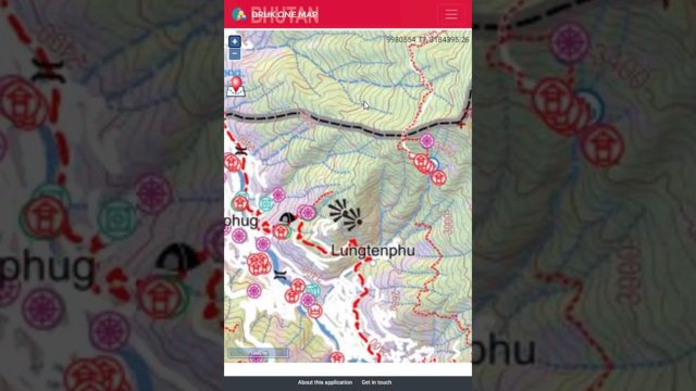
When a group of trekkers lost their way along the Druk Path trek in the summer of 2020, the search and rescue team rescued them by locating their mobile phone signals and asking them not to move, and to light a fire. Trekkers will not face a similar problem once the NLC launches its web and mobile application called Druk One Map with GPS navigation. This app provides geo-coded major trekking routes and the resolution of the map is 1: 35,000. The app will also show campsites, viewpoints, cliffs, and nearest toilet facilities. Historical sites along the trek routes are geo-coded in collaboration with the Department of Culture in Bhutan, where a user can click on the historical site and background of the significance of the sacred places.
Single window access for citizens
Druk One Map’s vision is to be a platform that provides single window access for citizens to access all spatial information related to geography. Tenzin Namgay is the Director of the Department of Survey and Mapping at the National Land Commission in Bhutan. He states: “The geospatial information policy requires all government agencies to work together to keep geospatial information up to date.” Namgay says that the NLC has been collecting spatial information over the last five years to produce guide maps, and the initiative to upload that information in a web-based application started last year.

ITC intervention
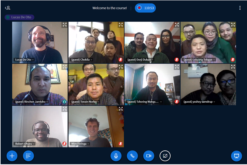
To support our partners in achieving such a challenging and interesting goal, ITC tailored a training program based on the specific needs of NLCS. The course focused on the process of designing and building a web application for geodata dissemination from a spatial problem-solving perspective. The course blended elements from direct, interactive, and experiential instructional strategies. At the start of the course, participants were presented with a web application that had already been partially developed according to NLCS aspirations.

Practical sessions were aimed at participants to acquire and develop technical skills using open-source tools. For these sessions, a cooperative learning approach was adopted. Students were split into small groups. Each group gathered participants with different, complementary professional backgrounds to ensure group autonomy and multi-skilling while motivating collaboration between the members. Tutorials and exercise guides were offered as support material. The course had a total duration of 6 months, and it was run totally online. At the end of the course, participants received a certificate of attendance.
Although their priority was to geo-code trekking routes with GPS navigation with the application, the team at the National Land Commission in Bhutan will keep collecting more information. “We will include a query system where a citizen can access all the spatial information of schools, land prices, and where the most suitable spaces are to construct hotels or institutions”, says Namgay. The app will launch next year.
More information
- If you are interested in this collaboration between ITC and Bhutan, please get in touch with Lucas De Oto. If you want to learn more about the possibilities of the Tailor-Made Training programmes that ITC offers, please contact Lyande Eelderink.
- Are you interested in a short course to learn how to build a web app? Please check this website for more information.


