- TitleMethods/dataApplicationFunding/status
AlignSAR
The AlignSAR project aims to develop open-access methods and tools to offer a FAIR-guided open SAR benchmark dataset library designed for SAR-based artificial intelligence applications.
ASTRAIOS
The project aims to provide an exhaustive view and understanding of the current and future offers of Space curricula and courses in the EU-27+UK.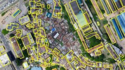
Bridging the gap between Artificial Intelligence and society
The objective of this project is to leverage societal requirements to tailor artificial intelligence algorithms to societal needs by focussing on responsible and viable AI for geospatial applications.
CopPhil EO Service Develoment & Transfer
Description: CopPhil project is ESA-funded, and led by CLS and focuses on EO service development and transfer. The scope of this project is to offer an operational Copernicus service focused on three…
Disastrous Information: Embedding "Do No Harm" principles
We will determine technological and regulatory designs for Malawi and an appropriate design for co-creating audit capacity within ADDA’s Master program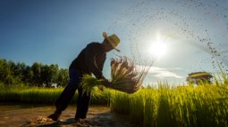
Earth Observation for estimating and predicting crop nutrients
EO4Nutri focuses on developing innovative scientific solutions that bring together the capabilities of various Earth Observation (EO) data to estimate and predict the nutrient content of the soil, crop canopy, and harvested crops for several global staple grains.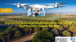
Empowering Agricultural Development in Jordan
One of the primary objectives of the project is to improve agricultural practices in Jordan through the application of geoinformatics and precision agriculture techniques, leading to increased crop yield, resource management and sustainable agricultural practices.
IDEAtlas
Developing AI-based methods to map and characterize informal settlements from Earth Observation data.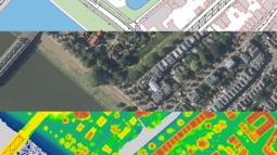
Learning from old maps to create new ones
Maps are quickly becoming outdated. This project focuses on methods to automatically interpret newly acquired sensor data to detect and update the cahnged objects in the digital map.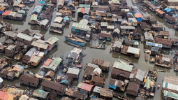
Mapping climate vulnerabilities of slums by combining citizen science and earth observation technology
SPACE4ALL aims to unravel the climate vulnerability of slum communities in six larger and secondary cities by combining Citizen Science and Earth Observation methods.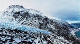
MASSIVE
The project team aims to improve glacier mapping and surface glacier mass balance estimation with the help of machine learning.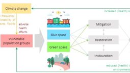
Piloting a co-design approach for climate-sensitive blue and green spaces with vulnerable urban populations
Description: Blue and green spaces hold many benefits for human health, particularly in the context of climate change. They provide cooling effects and reduce air pollution, and safeguard mental and …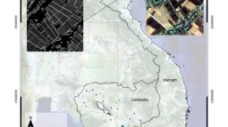
Rice Field Boundary
The project aims to develop a spatially explicit agricultural database in support of agricultural planning with study areas in Cambodia and Vietnam.
Searching for Oil Spills on Sea Surfaces
"Searching for Oil Spills on Sea Surfaces" (SOSeas) will employ the latest generation of deep learning methods for semantic segmentation to develop an artificial intelligence (AI) based system to identify relative oil thicknesses by using Synthetic Aperture Radars (SAR).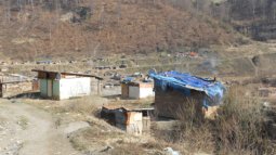
Strengthening water and health security in Europe’s marginalized communities through integrated social, geographical, medical and technological approaches
Description: Vulnerable groups at the margins of societies in Europe, such as Roma people, often live in informal settlements, where they are excluded from access to safe drinking water, sanitation a…
SupSAR
The SupSAR project, funded by the European Space Agency (ESA), aims to perform a pre-launch analysis of synergistic multi-SAR approaches for forest monitoring.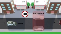
VeVuSafety
VeVuSafety aims to learn road users’ behaviour automatically and effectively in various mixed traffic situations for the safety of vehicles and VRUs by using state-of-the-art AI-based methodologies.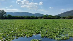
Water HYacinths: use them or lose them (WHY)
This project will use scientific research, satellite data and stakeholder experiences to co-create sustainable solutions for water hyacinth encroachment on Lake Chivero, the main source of drinking water for Harare, Zimbabwe's capital.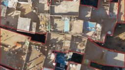
Water4Change
The Water4Change research programme addresses the complex challenges to urban water systems faced by fast-growing cities in India
WISER: Well-Being in a Sustainable Economy Revisited
WISER aims to create a new economic development framework that balances current well-being without compromising the future. In this project, one aim is to identify non-economic drivers, including urban green and blue spaces, that increase sustainable well-being.

