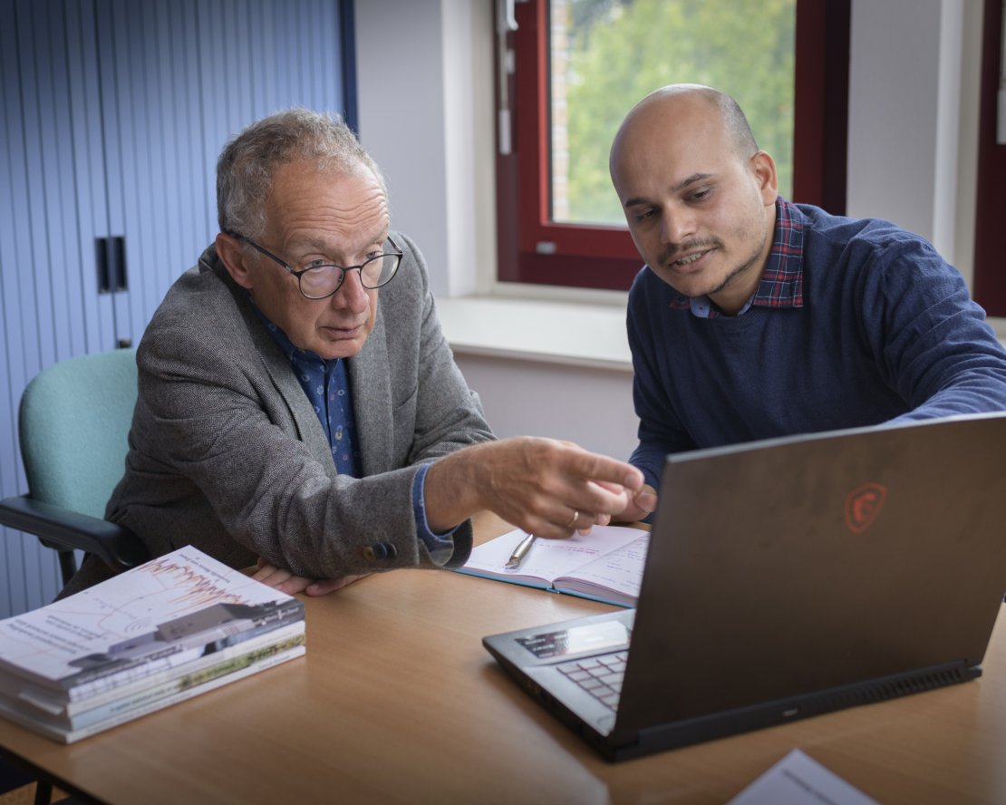
The faculty of Geo-Information Science and Earth Observation at the University of Twente has a long-standing relationship with the Indian Institute of Remote Sensing. It has supervised more than 25 joint Master Theses in the last five years. The theses clearly show the added value of our work in mapping solutions to local challenges. But the fruitful cooperation between this Indian institute and ITC began much longer ago.
IIRS and ITC: 50 years of collaboration
Starting in 1966 with the visit of former Prime Minister Nehru to the ITC premises in Delft, the Indian Institute of Remote Sensing (IIRS) was established. Its main objective was the use initially of aerial photographs and later of remote sensing images for addressing challenges in Indian society. Prof. Alfred Stein: “We have been working together for the last 50 years. The challenges that India faces are very much in line with ITC's mission regarding capacity development. The cooperation between us has always been a perfect match, and it is renewing itself time and again."
From Master thesis to long-standing relationship
Over the years, a lot of IIRS scientists received a major part of their education following the joint educational program between IIRS and ITC. “For instance, together we have delivered over 25 Master Theses in recent years.” Stein describes the formation of these master theses: "Often there is a local problem in the Indian context, or an urge to enter recent technologies. An organisation asks IIRS for their assistance and is willing to send a staff member to obtain her or his Master’s degree. Based on our many years of cooperation, we are asked to think along with a solution that fits within our research programme and the themes we focus on at ITC such as big geodata, food security, hazard risk and resilience, and geo-health. For instance, India still has to deal with major disasters such as landslides, while the expanding population has to eat and precious natural resources are at stake.”
“The freshly graduated MSc usually continues working with the stakeholder. Alternatively, s/he starts a spin-off company. In both instances, a long-standing relationship develops that serves as the start of new projects and ongoing collaboration. In this respect, our ITC alumni network plays an important role, as it helps to identify partners and supports a new company by providing public endorsement and by building up their R&D activities within collaboration frameworks.”

Seagrass and remote sensing
Stein elaborates on an example thesis of Ankita Anand (2020) on seagrass and remote sensing. “Seagrass are aquatic flowering plants, the most valuable habitat of marine ecosystems. They contribute to the global carbon cycle by storing large volumes of carbon thereby controlling Earth’s temperature. Seagrass species are under a major threat due to climate change, calling for solutions ensuring their conservation. The Master thesis of Anand utilized cloud computing power, Google Earth’s engine, remote sensing images, and machine learning methods to propose a framework for mapping seagrass beds. This study contributed greatly to the Indian marine biodiversity for sustainable conservation and the management of seagrass, in using the latest technologies.”
"Cross-disciplinary collaborations between IIRS and ITC will continue, as important problems in the Indian context will emerge that can be addressed and solved by combining our expertise, technologies, and scientific developments. Our collaboration that started more than 50 years ago has a sound future ahead.”
More information
Are you interested in the Master Theses that sprung from the collaboration between IIRS and ITC? On our website you can find all the Msc theses from the M-Geo Master, ranked by year.


