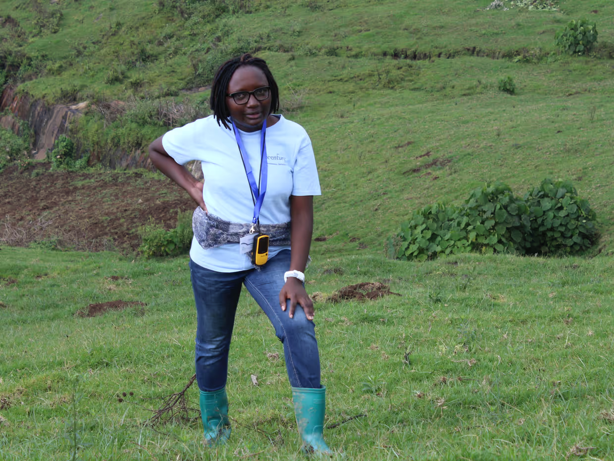
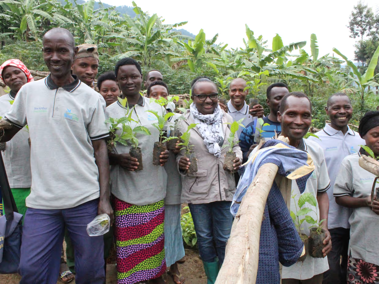
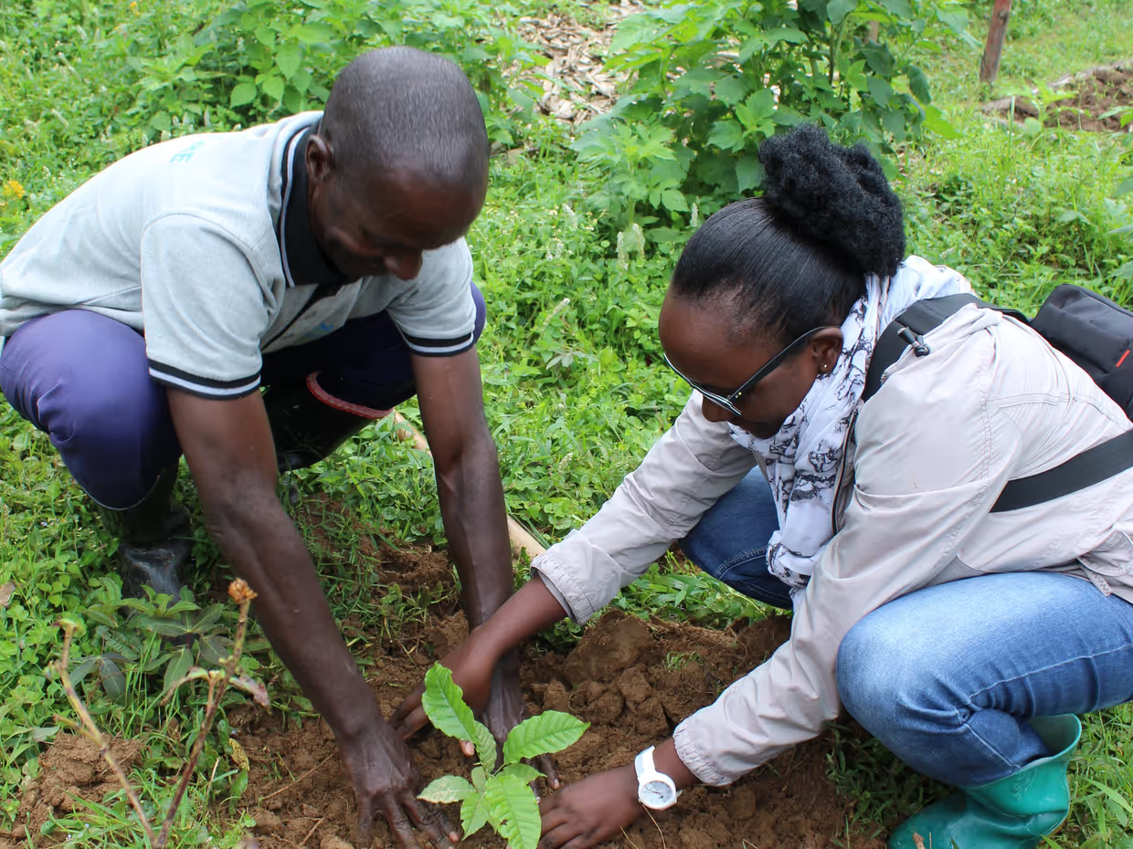
Providence Akayezu is an MSc alumna from ITC Master’s programme in Geo-Information Science and Earth Observation with a specialization in Natural Resource Management. After graduating in 2016, she went back to Rwanda, to develop her career as a biologist conservationist.
Providence is a National Geographic Explorer since 2017. Her first grant from Nat Geo constituted a research project on the impacts of tourism revenue in Nyungwe National Park (Rwanda). Her research on this project has been published recently.
Providence, how did you find out about the ITC and why did you decide to study for your Master's here?
I did conservation biology as my undergraduate at the University of Rwanda. During my Bachelor's Degree programme, we had some GIS and Remote Sensing courses. For these courses, we had two teachers who recently graduated from ITC, and that’s how I learned about the ITC Faculty.
During my undergraduate, I was inspired by GIS and Remote Sensing tools because as a biologist we learn about animals, wildlife, plants… we learn where they're located, and what they eat, but we don’t acquire deep knowledge about mapping or geo-information to combine with our ecological knowledge.
I always liked programming, “pressing buttons”. I like software and coding as it is taught by the ITC Faculty. Due to this, I said to myself “why not continue my academic career in the remote sensing field and apply that to my conservation biology knowledge?”. I didn't have an advanced background in remote sensing from my undergraduate so studying at the ITC was a great opportunity to learn more.
Fortunately, I was accepted into the NFP scholarship (The Netherlands Fellowship Programme) and I was able to come to the Netherlands. But I would say the main motivation came from the teachers that introduced me to GIS and Remote Sensing, which inspired me to continue learning these tools.
What was your experience studying the MSc programme?
The programme was an eye-opener. It was enriching. I was able to explore a new environment. It’s not only the classroom, but also the people, the environment, the cold weather, and the Dutch culture. They have a very specific work culture, where they expect you to work hard and respect deadlines. That taught me to prioritize work; if I postponed any tasks, I knew I would accumulate too many things in my schedule.
The way of learning, comparing Rwanda to the Netherlands was a bit different. This MSc programme was only 18 months, and we had to learn many things in a very short period, compared to what I was used to. In total, the programme is destined for around 12 months of class and 6 months to conduct research.
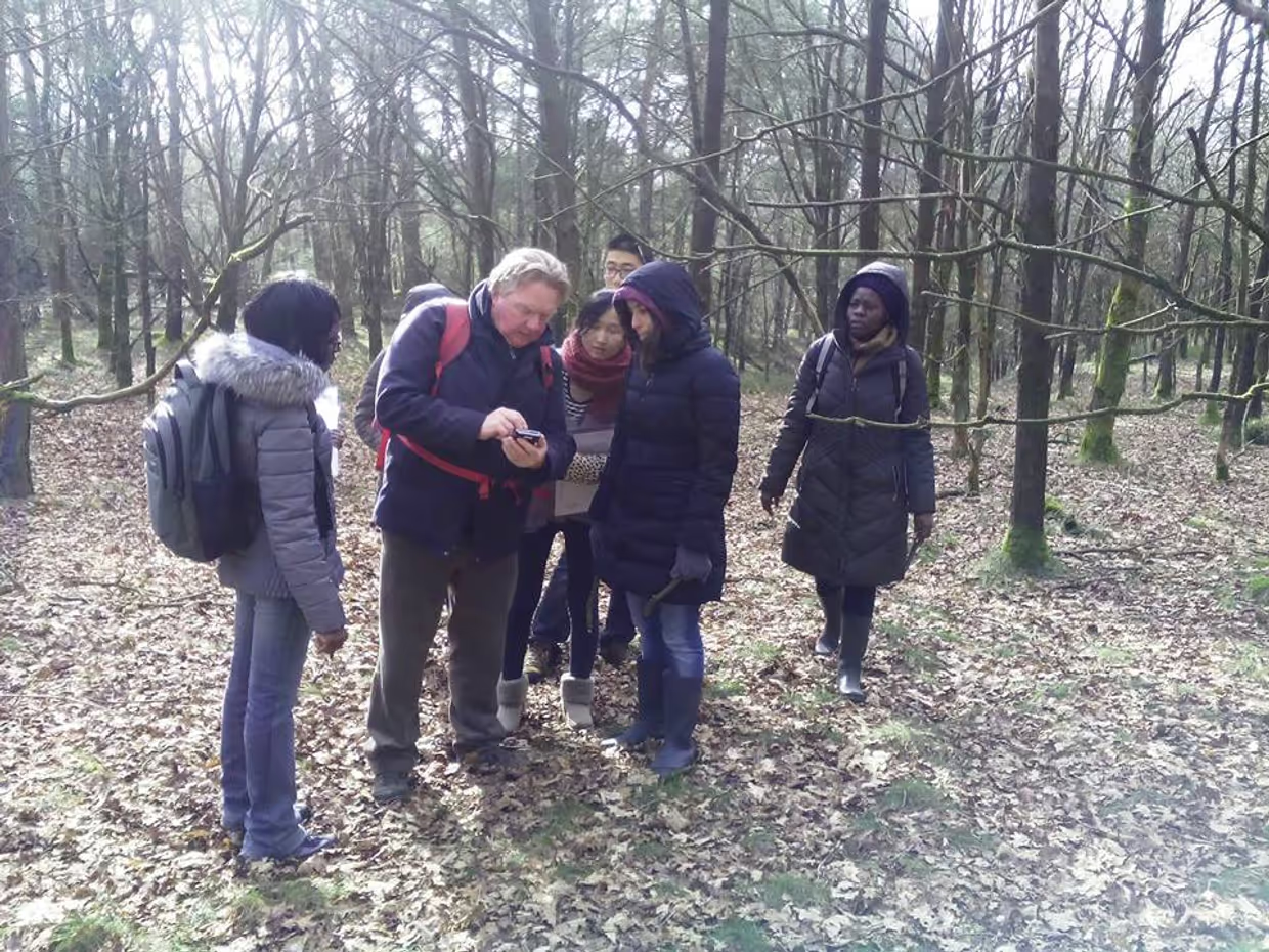
One of the best things about the NRM specialization was the excursions. We did fieldwork in different locations around the Netherlands related to our modules, combining sitting in class with field visits. We went to the locations in groups, collected data such as GPS, tree cover, vegetation information… and then returned. We learned to analyze these data, and create reports and maps. It was very helpful to combine the class definitions and theories with field visits. Additionally, in the Netherlands vegetation changes a lot between seasons, compared to my country, and we could see the animals that we do not have. Observing and comparing the environment in European countries with my country was also very insightful.
And from this experience, I still stay in touch with friends from my class and my supervisors. We have a group where we stay in touch and share opportunities.
And how did you experience the Netherlands?
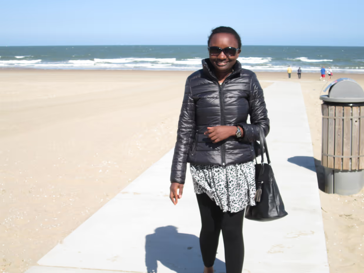
It was my first time experiencing temperatures below 0 C in the winter. There was also a lot of wind throughout the year, and I would even be carried away by the wind! But I was able to adapt with time.
One of the things I enjoyed about the Netherlands was the food. It was not expensive and had everything I wanted to find, except our very local food in Africa. But generally, I had no problems, food was always available at an affordable price.
Dutch people are nice and friendly. Most of them can speak English and will kindly give you directions and help you out. They are very smiley, which shows they have a good culture.
What was your favourite course of the MSc programme, and why?
One of the specialization courses I chose was Species Distribution Modelling. In this course, we used programming software, and as I said at the beginning, I like using these tools, and “pressing buttons”. It was my first time learning code, and I learned programming scripts that I would later use during my thesis.
Although my favourite course was Species Distribution Modelling, Scientific Writing and Research Skills were also really helpful courses that I would later use during my thesis.
What topic did you choose for your Thesis?
My topic was the spatial distribution of the main food species for mountain gorillas. I mapped the main 5 food species. This was very connected to my favourite course, Species Distribution Modelling, and I was able to use the same R scripts that I used in that course.
Writing a Thesis is a great learning experience. What did you learn during your Thesis?
I learned three main things. The first one was how to keep a good relationship with your supervisors. I think it is important to listen to what your first supervisor tells you, and also to involve your second supervisor in your conversations about the thesis. I advise not to go on your own thinking but rather listen to what they suggest to you.
The second was connecting with external partners to collect the data. I had about a month to collect data but I was not able to collect enough in that period of time. I requested the data from an external institution, the Dian Fossey Gorilla Fund. They invited me to present my research during one of their seminars. A researcher from the Max Planck Institute of Anthropology in Germany was very interested and told me there was a PhD candidate she supervised who spent many years collecting the data that I needed. They shared the data to complement my dataset and I was able to have a strong analysis and strong findings.
The third thing I learned was to apply all that I learned throughout the course. We did a lot of non-graded mapping exercises during classes that were very useful for my thesis. Those exercises were not designed for submitting and grading, but they still constituted a big part of my thesis.
Would you recommend the MSc programme and the NRM Specialization?
Definitely. Graduating from the ITC Faculty, and the NRM Specialization specifically, complimented my biology conservation knowledge with remote sensing and geo-information science. There are many GIS experts that are technically great at producing maps and there are conservation biologists that know quite a lot about theories and frameworks on conservation. Thanks to the NRM Specialization, I have quite a unique background, combining GIS techniques with biology conservation.
One of the things I like about graduating from the ITC is the continuous communication with the alumni. Jorien (Terlow) has been reaching out to us so many times. If there is a GIS event in Rwanda, we usually have an alumni gathering. We also receive some benefits as alumni, such as free GIS software licenses that we are able to renew every year.
Also, there is a good reputation for the ITC Faculty in Rwanda, or even in East Africa, with the notion that GIS and remote sensing expertise originates from ITC. When you say “I know GIS”, they ask you “Are you from ITC ?”. Many people in different departments and different ministries around the world know the ITC Faculty.
How did you continue developing your career? Is your career aligned with the same topic as your Thesis?
When I chose the ITC, it was to get a deeper knowledge of GIS and remote sensing as an additional tool for my conservation biology background.
After I graduated, I started teaching wildlife management, courses about biodiversity conservation and GIS. After teaching I got involved in a conservation project with BirdLife International where GIS was a key skill for me as a project manager. Then, I entered another project to study the impacts of tourism revenue in Nyungwe National Park (Rwanda), also using GIS.
Today, as a teacher, I don't use much of the GIS because it is not embedded into the courses, but the students want to learn. So I've been providing some extra time to teach them GIS and introduce them to the basics.
Is there anything else you would like to add to this interview?
I currently have 3 publications, and 2 of them include my supervisor (Thomas Groen) as a co-author. I still communicate with him for advice on my project and collaborations, from the design phase to the implementation and publications. He is very busy but always finds time to give pieces of advice which are very useful.
I would also like to mention Jorien Terlouw. We are friends on Facebook, and she posts many things on the ITC Alumni group. Following her is important for alumni, as she is posting many things and we can learn from her updates all the ITC news such as if there is a graduation or an important event at the ITC.
Thank you for considering me for this Made in NRS, I hope it is useful for the current NRM students and those who are interested in this programme. Thank you!
Thank you for sharing your story with us, Providence!
Click here to learn more about Providence Akayezu’s recent publication “Community livelihoods and forest dependency: Tourism and contribution in Nyungwe National Park, Rwanda”
You can also find another publication developed from her MSc thesis: ‘’Abundance and spatial distribution of the main food species for mountain gorillas in the Virunga Massif, Rwanda’’
Learn about her current employer, the African Leadership University (ALU); and ALU’s School of Wildlife Conservation (SOWC) that supports conservation students.


