Research Highlights
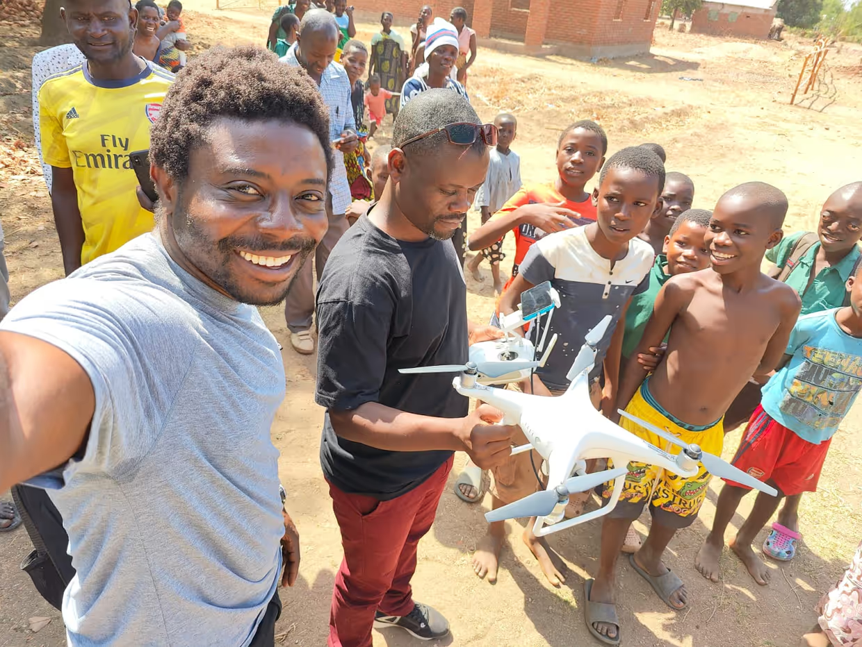
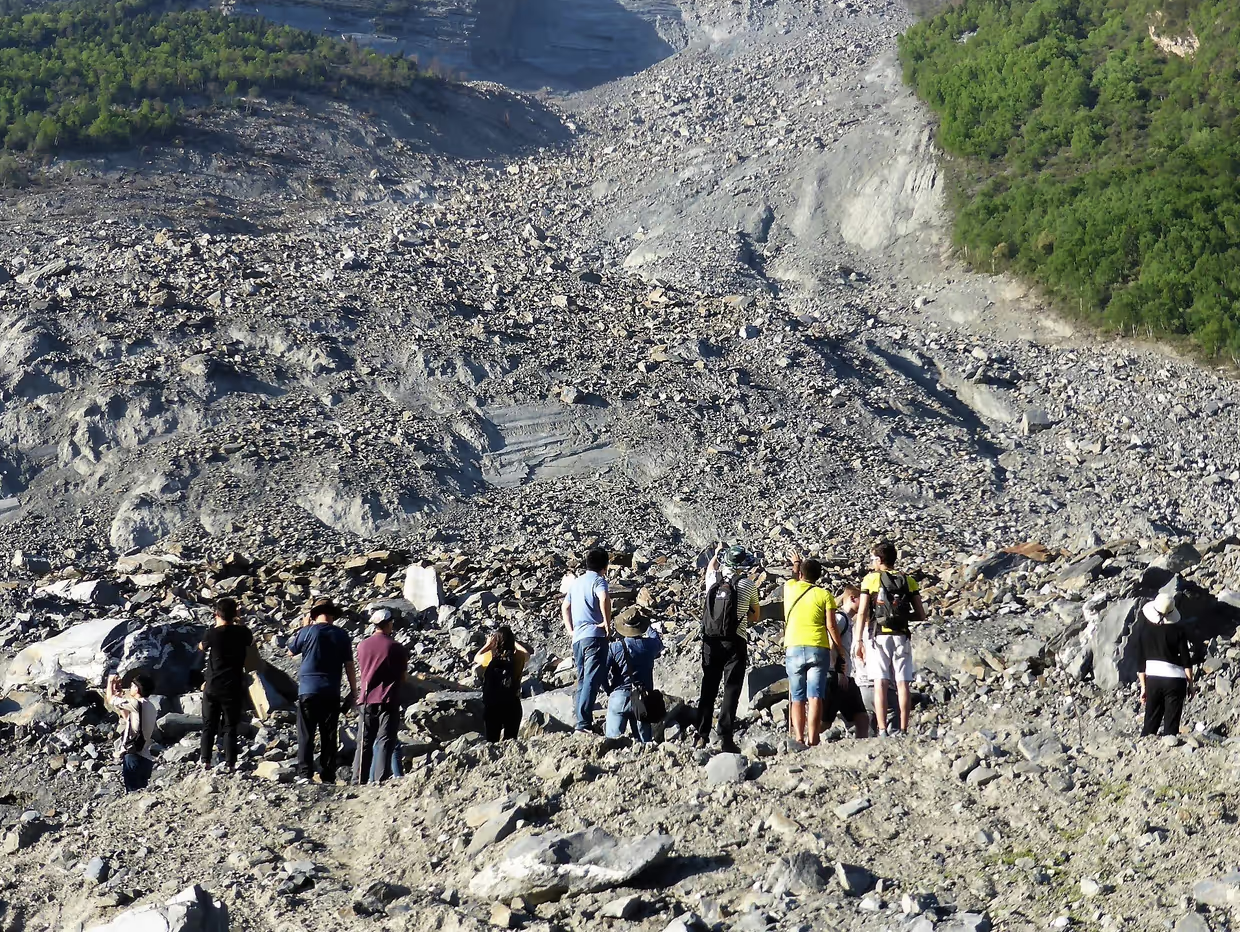
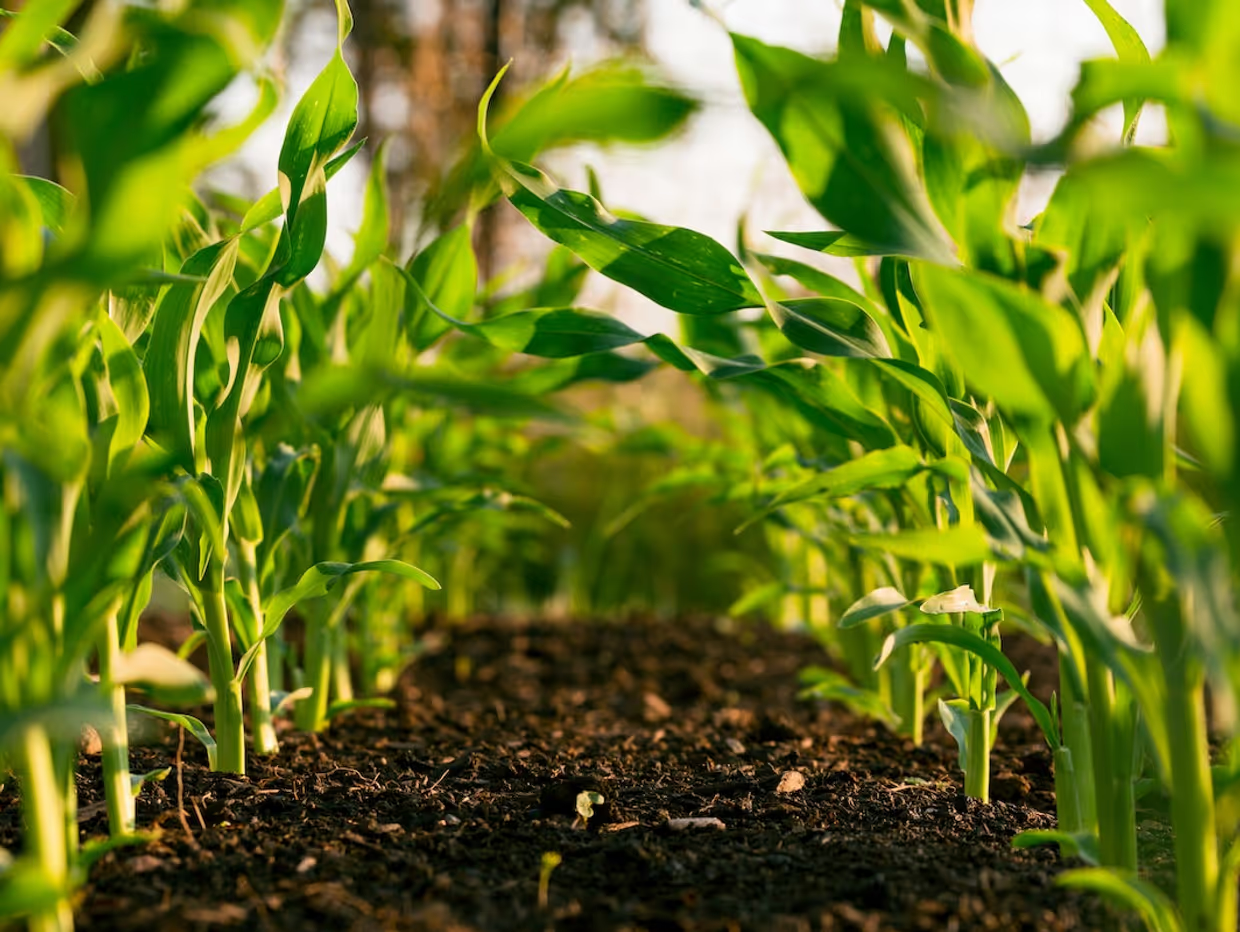
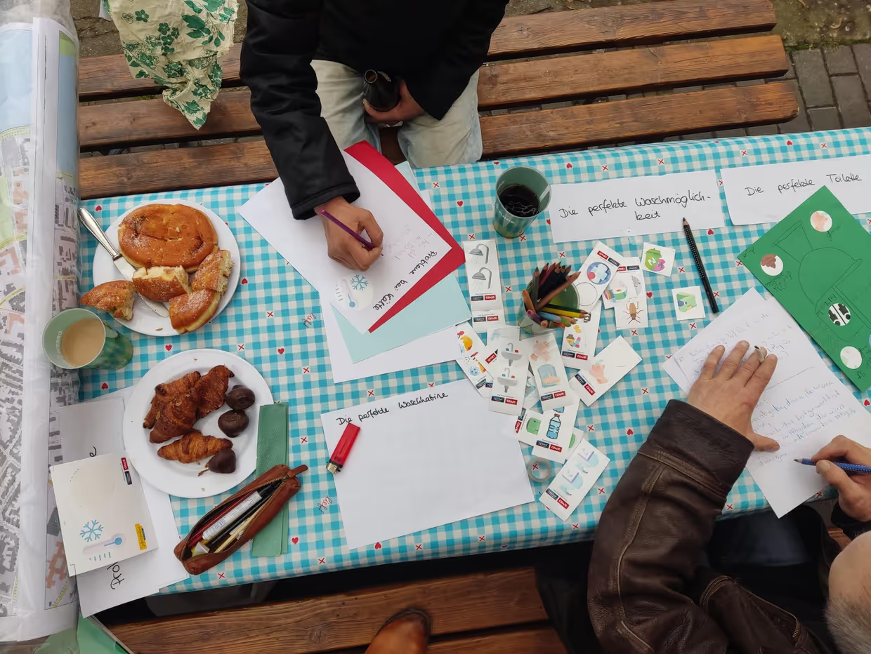
Photo: Rogers Alunge NNangsope
Disastrous Information: Embedding “Do No Harm” principles into innovative geo-intelligence workflows for effective humanitarian action
Uses mix of experimental (hackathons, mapathons, choice experiments) and qualitative methods (in-depth interviews and focus groups) as well as Q-methodology. Determines the optimal distribution of technological and regulatory designs for Malawi and an appropriate design for co-creating audit capacity within ADDA's Master program.
Photo: Cees van Westen
PARATUS Project
The PARATUS project aims to provide stakeholders in disaster risk management with tools to account for cross-sectoral impacts and the dynamic nature of compounding disasters. The team will develop an open-source platform for the dynamic risk assessment that can analyze and evaluate multi-hazard impact chains, risk reduction measures, and disaster response scenarios.
Photo: Steven Weeks, Unsplash
WUNDER project (Water Use and Drought Ecohydrological Responses of Agricultural and Nature Ecosystems in the Netherlands)
The WUNDER project is developing a novel system that uses its understanding of droughts to come up with the best measures to mitigate drought damage to crops.
Photo: Carmen Anthonj
Climate-resilient WASH among people experiencing homelessness in German cities
This transdisciplinary and participatory citizen science project aims at filling knowledge gaps related to drinking water, sanitation and hygiene (WASH) among people who are homeless, and climate-resilient WASH, involving homeless people as key actors to identify appropriate solutions and interventions. We mix different empirical methods including interviews, arts-based research, participatory mapping and inspections of publicly accessible WASH infrastructure.
Research Output
Examples of MSc Topics
Om Prasad Dhakal
Applicability of Semi-structured mass movement mechanism in rockfall runout modelling
Kushanav Bhuyan
Characterisation of Built-up Area using Artificial Intelligence and Open-Source Data for Assessment of Hazard Exposure
Catherine Nabukulu
A satellite-based analysis of tropical cyclone rainfall for improved flood hazard assessment
Cassiano Bastos Moroz
Assessing the impact of spatial rainfall variability on the quantification of flood hazard and exposure
Ashok Dahal
Super Resolution aided multi-hazard modelling: is it possible?
Demi Vonk
Balancing forecast based action and prevention efforts for risk reduction
Mateo Moreno Zapata
Spatial predictive modelling for outlining areas
Bakul Patil
Detecting slow gradual changes with remote sensing: fuzzification of random forest classification for coastal management

This video player uses cookies
The YouTube player uses marketing cookies. Accept third-party cookies to load the player. Watch without cookies on the YouTube website.

This video player uses cookies
The YouTube player uses marketing cookies. Accept third-party cookies to load the player. Watch without cookies on the YouTube website.

This video player uses cookies
The YouTube player uses marketing cookies. Accept third-party cookies to load the player. Watch without cookies on the YouTube website.

This video player uses cookies
The YouTube player uses marketing cookies. Accept third-party cookies to load the player. Watch without cookies on the YouTube website.

This video player uses cookies
The YouTube player uses marketing cookies. Accept third-party cookies to load the player. Watch without cookies on the YouTube website.

This video player uses cookies
The YouTube player uses marketing cookies. Accept third-party cookies to load the player. Watch without cookies on the YouTube website.

This video player uses cookies
The YouTube player uses marketing cookies. Accept third-party cookies to load the player. Watch without cookies on the YouTube website.

This video player uses cookies
The YouTube player uses marketing cookies. Accept third-party cookies to load the player. Watch without cookies on the YouTube website.