Water, food and energy security and environmental safety are key challenges to our societies.
The department of Water Resources is a multidisciplinary scientific department specialising in scientific research and education in earth observation and geo-information sciences for the understanding, monitoring, predicting and sustainable use and management of water resources.
- Our Mission
Our mission is ‘To create and share knowledge in satellite hydrology for solving society’s problems in water resources and environment”
Create. Each member of our group has a specific niche in the domain of satellite hydrology. Our combined expertise covers not only the water cycle (water quality and quantity) but also the electromagnetic spectrum and remote sensing and observation technology. We contribute to developing new knowledge by scientific research with PhD students and postdoctoral research fellows and publish our results in top disciplinary journals.
Share. Capacity building has been the main purpose of ITC since its foundation by the former Dutch prime minister Willem Schermerhorn in 1950. As one of the first, he advocated the use of geospatial data to solve environmental problems. But he also believed in knowledge sharing. Today, our group is active in Africa, Southeast Asia and Latin America, often with physical presence. Through capacity building trajectories, tailor-made trainings, local research projects and interactions with alumni, we make open science accessible and applicable in places where this cannot be taken for granted. For example, the EESAT project has strengthened the capacity, expertise and infrastructure of universities in Ethiopia.
Satellite hydrology. Contemporary water management strongly relies on model simulations. The question is: How accurate are our hydrological models? Models consolidate existing knowledge, but they do not generate new knowledge themselves. We strongly believe that new insights are conceived by observations. We have specialized in developing methods to transform satellite and other geospatial data into information about water and the environment. We do this by developing observation models, which combine radiative transfer with hydrology. Our models have found wide application in the scientific community. We also developed and maintain a data and software infrastructure to handle real-time satellite data which we use in our analyses.
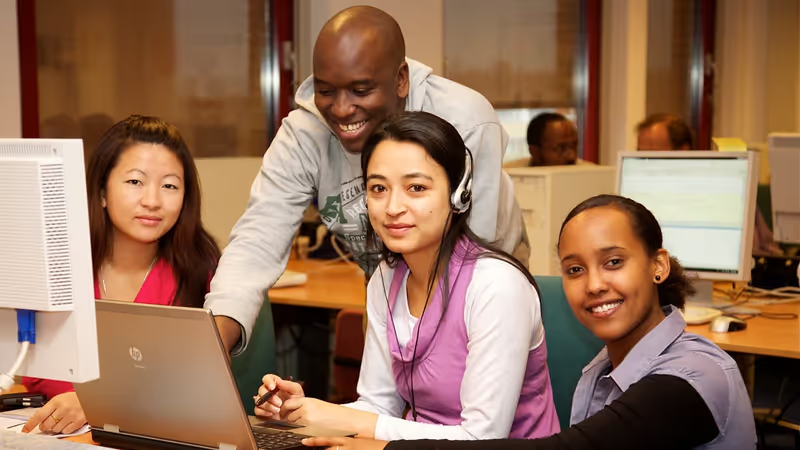
Solving society’s problems in water resources and the environment. Our group is culturally highly diverse, and we consider this diversity a part of our identity. We work with students and alumni on practical and local water and environment-related problems worldwide. For example, the past TIGER and present EOAfrica networks include short research projects in Africa, in which societally relevant and real problems, such as urban flooding and water pollution, are addressed using state-of-the-art and innovative methods in satellite hydrology.
- Our People
For the complete (and up-to-date) list of WRS Staff, Guest / Visiting Scientists, PhD / Promovendus visit the ITC Who-is-who
For information about former WRS Staff, Guest / Visiting Scientists, PhD / Promovendus, contact the department Secretaries. C.M. Wolters (Ceciel) Supporting staff
 L.M. Snijders - Nijkrake (Lindy) Supporting staff
 - Contact
For more information on the department of Water Resources, please contact: secretariat-wrs-itc@utwente.nl
You can also join the Water and Climate Group on Facebook
Education
Geo-Information Science and Earth Observation | Master of Science
Water Resources and Environmental Management | Specialization
Spatial Engineering | Master of Science
Short Certificate Courses and More
The department of Water Resources is actively engaged in research and education in applications of earth observation technologies to understand and monitor water availability and food security in terms of water quantity and quality, and water-related disasters, risks and solutions in terms of floods, droughts, (urban) heat, water pollution and health.


