Earth Observation Science

Become a high-skilled geospatial professional

The mission of the department of Earth Observation Science (EOS) is to gain and disseminate scientific knowledge in earth observation. This knowledge is applied in the development of tools to help good governance and wise and sustainable use of natural resources in developing countries and emerging economies.

The department of Earth Observation Science deals with earth observation technology for problem solving. Problem solving means primarily identification of solutions for large-volume producers of geo-information and identification of solutions for application domains.

Latest news

Upcoming events

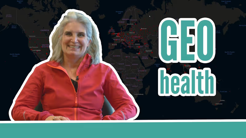
Geo Health

Professor Justine Blanford explains what Geo Health is and how it can help to solve the world's diseases.

Read more
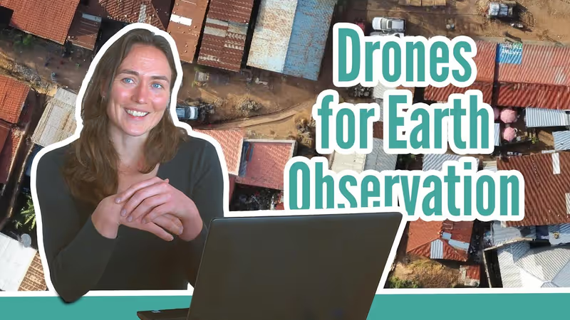
Drones for Earth Observation

Dr. Caroline Gevaert explains when it's a good idea to use dones in Earth Observation.

Read more
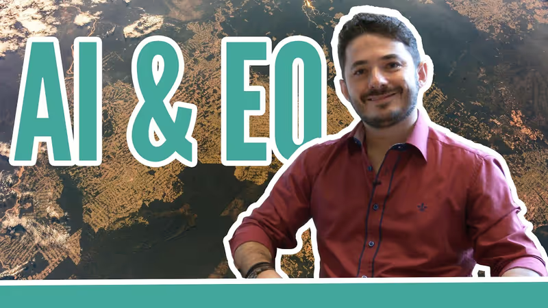
AI & EO

Dr. Raian Maretto talks about, and gives examples, on the use of AI in Earth Observation and how this will enable us to have a better understanding of our planet.

Read more
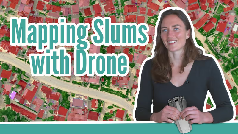
Mapping Slums with Drones

Dr. Caroline Gevaert explains how she used drones to map slums in Kigali, Rwanda.

Read more
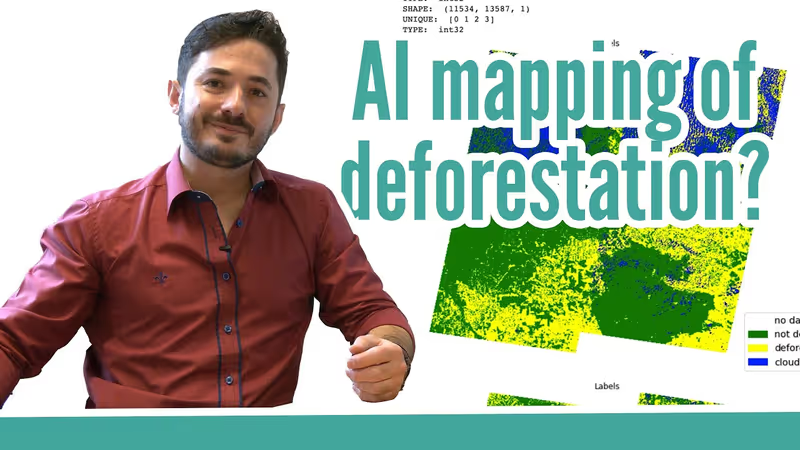
Using AI to map deforestation

Dr. Raian Maretto talks about his work on developing tools to map deforestation using Machine Learning.

Read more
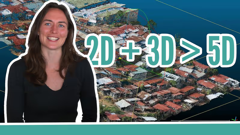
2D + 3D is more than 5D

Dr. Caroline Gevaert explains why combining 2D aerial photos with 3D models might end up providing you much more information than the two could ever provide seperately.

Read more
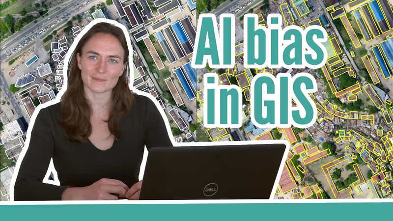
AI bias in GIS

Dr. Caroline Gevaert talks about bias in the application of machine learning algorithms in geoinformation aplications.

Read more

For more GeoHero videos please visit ITC's GeoHero Youtube Channel